Exemple d'intégration BIM GIS pour la planification urbaine
|

Intégration BIM GIS : Le Futur de la Planification Urbaine

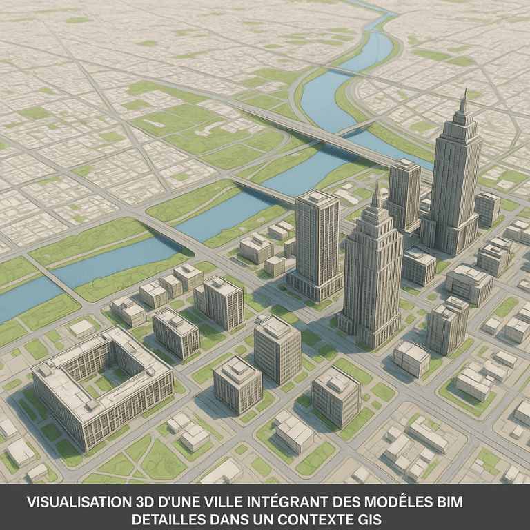
Bénéfices Concrets de l’ Intégration BIM GIS pour la Planification Une Planification Urbaine et Territoriale Plus Fine et Prédictive L’union du BIM et du GIS ouvre des possibilités extraordinaires pour les urbanistes et aménageurs : Conception d’Infrastructures Optimisée et Contextualisée Pour les projets linéaires ou de grande emprise (routes, voies ferrées, réseaux…), l’intégration est cruciale…

Transforming Construction Planning with BIM and GIS Integration
| |

Transforming Construction Planning with BIM and GIS Integration

In the complex world of construction and urban planning, two powerful technologies have emerged as game-changers—Building Information Modeling (BIM) and Geographic Information Systems (GIS). These technologies are revolutionizing how architects, civil engineers, and BIM professionals approach project planning, design, and management. While each serves distinct purposes, their integration promises a transformative approach that addresses some…