In the complex world of construction and urban planning, two powerful technologies have emerged as game-changers—Building Information Modeling (BIM) and Geographic Information Systems (GIS). These technologies are revolutionizing how architects, civil engineers, and BIM professionals approach project planning, design, and management. While each serves distinct purposes, their integration promises a transformative approach that addresses some of the most pressing challenges in construction and planning today. In this blog post, we’ll explore how combining BIM and GIS creates new opportunities for more effective and efficient construction projects.

Understanding BIM and GIS
BIM Explained
Building Information Modeling (BIM) is a model-based process that provides architects and engineers with comprehensive insights to efficiently plan, design, and manage buildings. It involves creating digital representations of physical and functional characteristics of spaces, which can be used throughout the building’s lifecycle. BIM facilitates collaboration among stakeholders by offering a shared knowledge resource that supports decision-making from the earliest conceptual stages to demolition.
What is GIS?
Geographic Information Systems (GIS) are designed for capturing, managing, and analyzing geographical data. This technology is crucial in environmental and urban planning as it allows for the visualization and analysis of spatial relationships. GIS data can include everything from topography and land use to weather patterns, making it an invaluable tool for understanding the geographical context of any project.
Key Differences
While BIM focuses on the detailed modeling of buildings, GIS provides broader geographical insights. The two systems complement each other, with BIM offering the intricate details of structures and GIS providing the environmental context. This combination enhances the ability to plan, analyze, and execute construction projects with greater precision and efficiency.
Why Integrate BIM and GIS?
Enhanced Spatial Context
Integrating GIS with BIM introduces a rich spatial context to BIM models. GIS brings geographical and environmental data into the mix, allowing for a more holistic view of the project site. This integration ensures that architects and engineers can consider factors such as terrain and climate in their designs, leading to more informed and sustainable planning.
Improved Decision-Making
The fusion of BIM’s 3D models with GIS’s spatial data empowers project managers with better decision-making tools. With a clear understanding of both the site’s physical characteristics and geographical context, managers can make informed choices that optimize project outcomes. This integration reduces uncertainties and enhances the strategic planning process.
Resource Efficiency
By combining BIM and GIS, construction projects can achieve significant resource efficiencies. The integration streamlines workflows, reducing time and costs associated with design, analysis, and execution. Project teams can allocate resources more effectively, minimizing waste and maximizing value across the project lifecycle.
Better Stakeholder Communication
The visualization capabilities of combined BIM and GIS models enhance communication among all project stakeholders. Detailed visuals and data-driven insights make it easier for everyone involved to understand the project’s complexities, fostering collaboration and alignment. This clarity ensures that all parties are on the same page and can contribute meaningfully to project success.
Key Benefits of BIM and GIS Integration
Enhanced Site Analysis and Selection
Utilizing GIS data in conjunction with BIM models allows for comprehensive site analysis before construction begins. GIS provides invaluable insights into site conditions such as soil type, weather patterns, and proximity to natural resources. By understanding these variables, teams can select optimal sites and develop strategies to mitigate potential risks.
Efficient Design and Construction Management
The seamless integration of GIS data with BIM models streamlines the entire design and construction management process. This synergy allows for dynamic planning and execution, ensuring that all project components are coordinated and optimized. By aligning design and construction efforts, projects can proceed smoothly, reducing delays and enhancing quality.
Risk Mitigation
Combining GIS with BIM is instrumental in predicting and mitigating risks. For example, GIS can identify flood-prone areas, while BIM can design structures that withstand such risks. This proactive approach to risk management leads to safer, more resilient projects that can adapt to environmental challenges.
Sustainability
With the increasing emphasis on green building initiatives, the integration of BIM and GIS supports eco-friendly project planning. GIS provides critical environmental data, enabling teams to incorporate sustainable practices into their designs. By using this data, projects can minimize their environmental footprint and contribute to broader sustainability goals.
Real-World Applications of BIM and GIS Integration
Urban Planning
Cities around the world are leveraging BIM and GIS together for smarter urban planning. This integration helps planners visualize and analyze city-wide data, facilitating more informed decisions about land use, transportation, and infrastructure development. By considering both building details and broader geographical contexts, cities can create more livable and sustainable environments.
Transportation Projects
Transportation infrastructure such as roads and railways benefits significantly from BIM and GIS integration. GIS provides essential geographical insights, while BIM offers precise construction models. Together, they enable efficient planning and execution of transportation projects, ensuring that they meet the needs of both the present and future.
Disaster Management
In disaster-prone areas, combined BIM-GIS models play a crucial role in preventing and recovering from disasters. These integrated models allow planners to simulate various scenarios, identify vulnerabilities, and develop response strategies. By being better prepared, communities can reduce the impact of disasters and expedite recovery efforts.
Utility Networks
Utility management, including water, electricity, and telecommunications, gains substantial advantages from BIM and GIS collaboration. GIS data helps identify optimal routes and placements for utilities, while BIM ensures the detailed design and construction of these networks. This synergy leads to more efficient and reliable utility services.
Recommended Books on BIM, GIS, and Their Integration
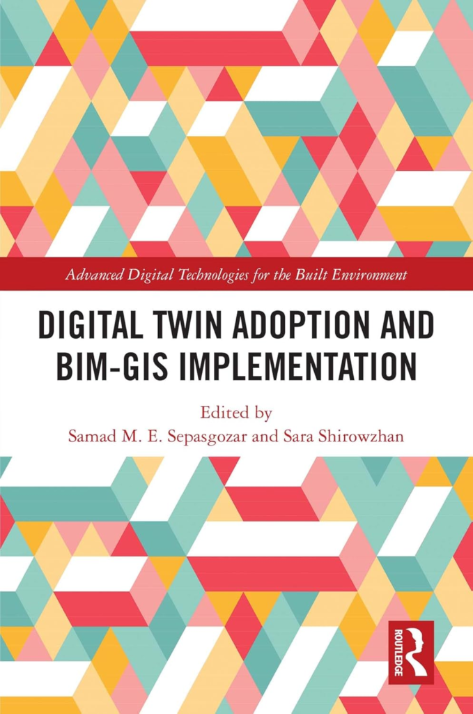
Digital Twin Adoption and BIM-GIS Implementation by by Samad Sepasgozar & Sara Shirowzhan

This book offers a comprehensive look into the convergence of BIM and GIS technologies. It features case studies and practical insights that are invaluable for architects and engineers seeking to harness the power of these integrated systems.
Civil Drafting Technology (What’s New in Trades & Technology) 8th Edition by David Madsen & Terence Shumaker

An introductory text, this book explains GIS fundamentals in civil engineering, with practical applications for construction and infrastructure projects.
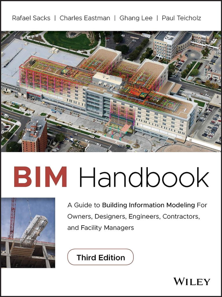
BIM Handbook: A Guide to Building Information Modeling for Owners, Designers, Engineers, Contractors, and Facility Managers 3rd Edition
by Rafael Sacks , Charles Eastman, Ghang Lee and Paul Teicholz

The BIM Handbook, Third Edition provides an in-depth understanding of BIM technologies, the business and organizational issues associated with its implementation, and the profound advantages that effective use of BIM can provide to all members of a project team.
Challenges and Limitations of BIM-GIS Integration
Technical Barriers
One of the primary challenges in BIM-GIS integration is software compatibility. Different platforms use varying data formats, making integration complex. Overcoming these technical barriers requires standardized protocols and interoperability solutions to ensure seamless collaboration between BIM and GIS tools.
Data Overload
The integration of BIM and GIS can result in vast amounts of data, which can be overwhelming without proper management strategies. Effective data management solutions are necessary to filter, organize, and interpret this information, ensuring that only relevant data is used for decision-making.
Skills Gap
The successful integration of BIM and GIS requires professionals with expertise in both fields. However, there is currently a skills gap, as few individuals possess the necessary knowledge and training. Addressing this gap involves investing in education and training programs to equip professionals with the skills needed to leverage these technologies effectively.
Future Trends and Innovations in BIM-GIS Integration
AI and Machine Learning
The integration of AI and machine learning presents exciting opportunities for enhancing BIM-GIS collaboration. These technologies can automate data analysis, identify patterns, and generate predictive insights, further improving decision-making and project outcomes.
Digital Twins
Digital twins, virtual representations of physical assets, benefit significantly from combined BIM-GIS data. By integrating real-time data, digital twins provide dynamic insights into the performance and behavior of buildings and infrastructure, enabling proactive maintenance and optimization.
Cloud Computing and Real-Time Data
Cloud platforms are facilitating real-time collaboration across BIM and GIS tools. By leveraging cloud computing, project teams can access and update information instantly, improving communication and coordination. This capability is essential for large-scale projects with multiple stakeholders.
Conclusion
The integration of BIM and GIS represents a transformative shift in construction and urban planning. By combining the detailed modeling capabilities of BIM with the spatial insights of GIS, professionals can achieve more sustainable, efficient, and resilient projects. This powerful synergy opens up new opportunities for innovation and growth, making it an essential consideration for architects, engineers, and students alike.
To deepen your knowledge of BIM and GIS integration, we encourage you to explore further resources, including the recommended books mentioned earlier. These resources provide valuable insights into the evolving landscape of construction and urban planning, empowering you to stay ahead in this dynamic field.


